Używamy informacji zapisanych za pomocą plików cookies w celu zapewnienia maksymalnej wygody w korzystaniu z naszego serwisu. Jeśli nie wyrażasz zgody, ustawienia dotyczące plików cookies możesz zmienić w swojej przeglądarce.
Pobieranie
 Pobierz
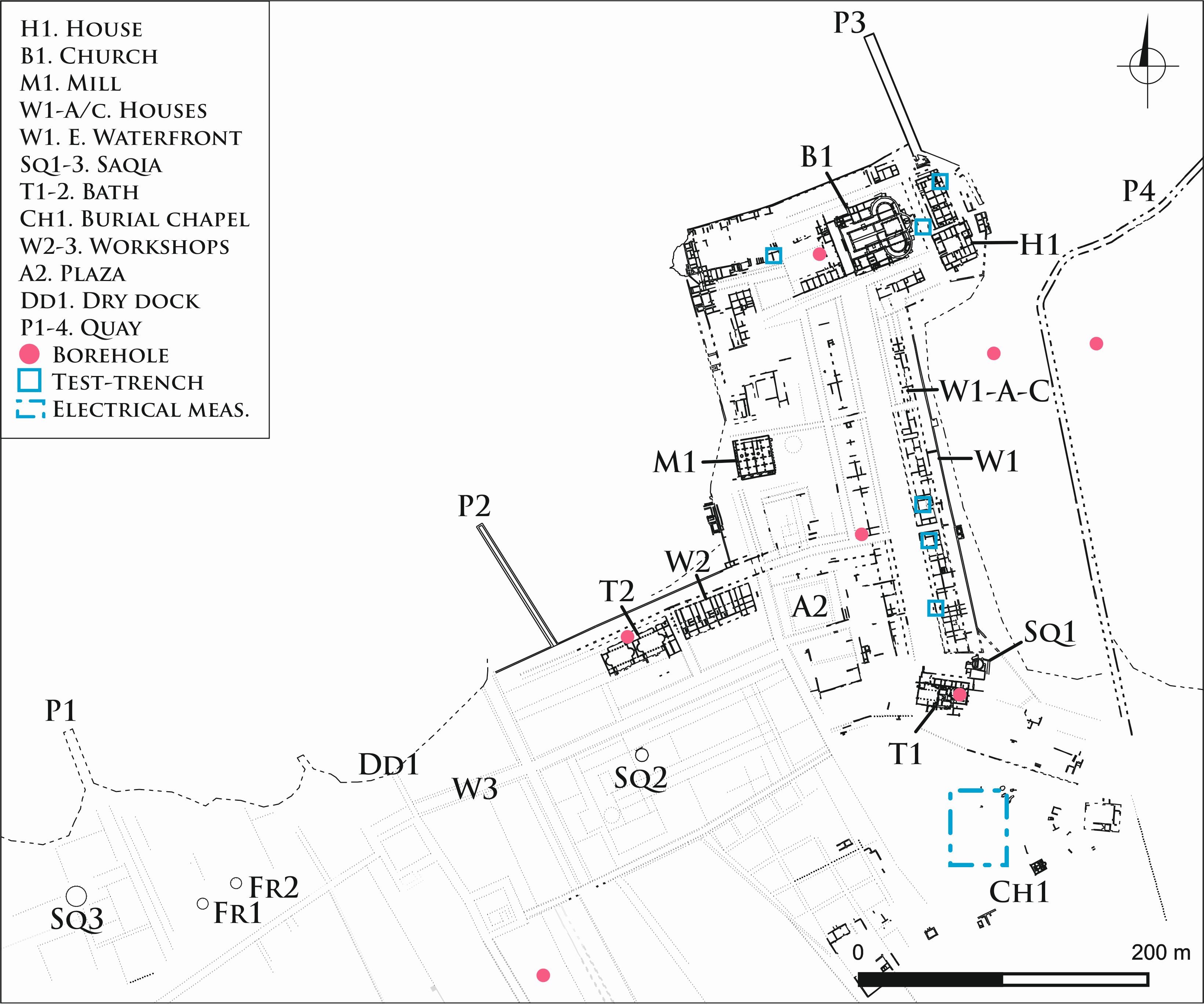
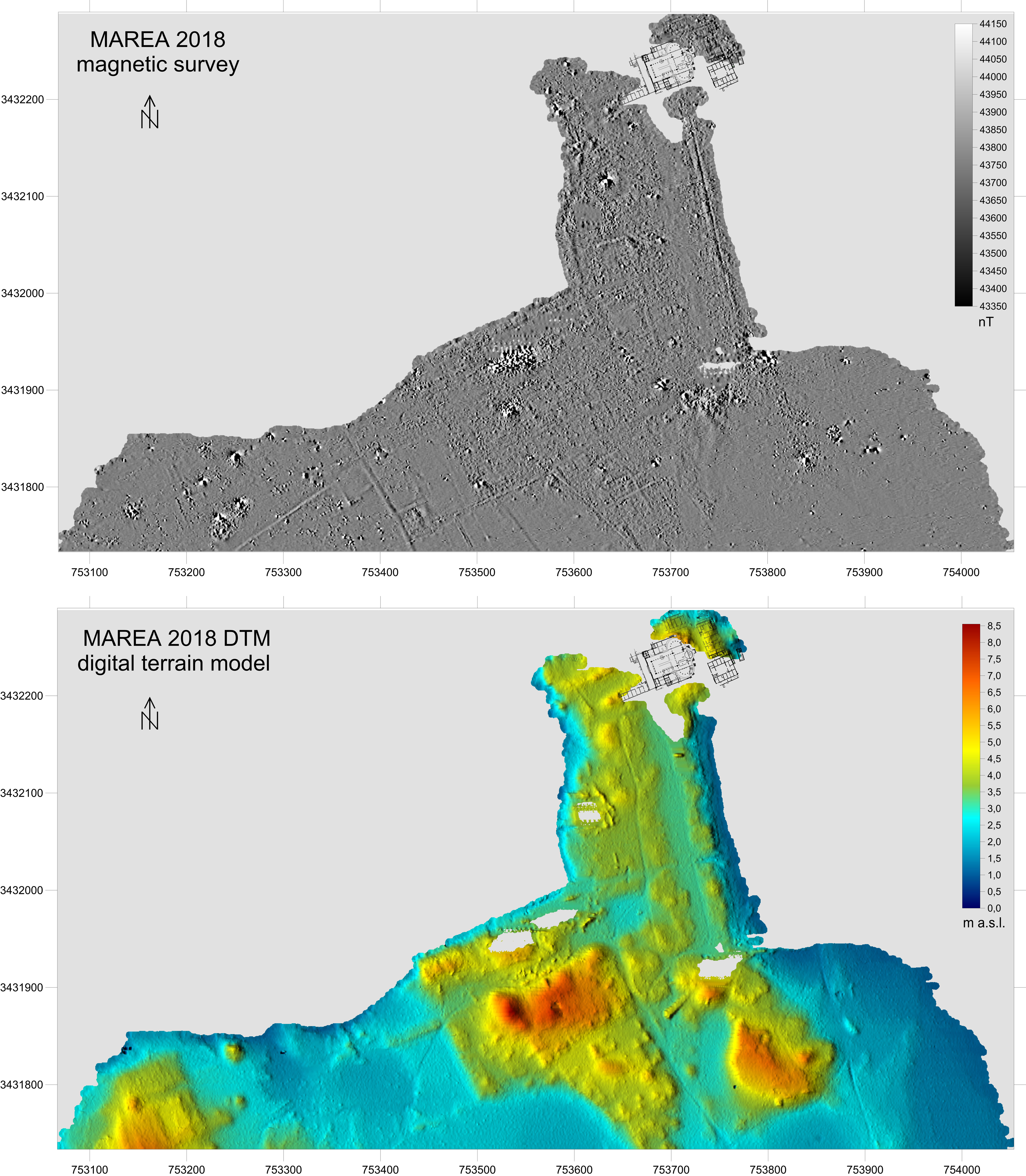
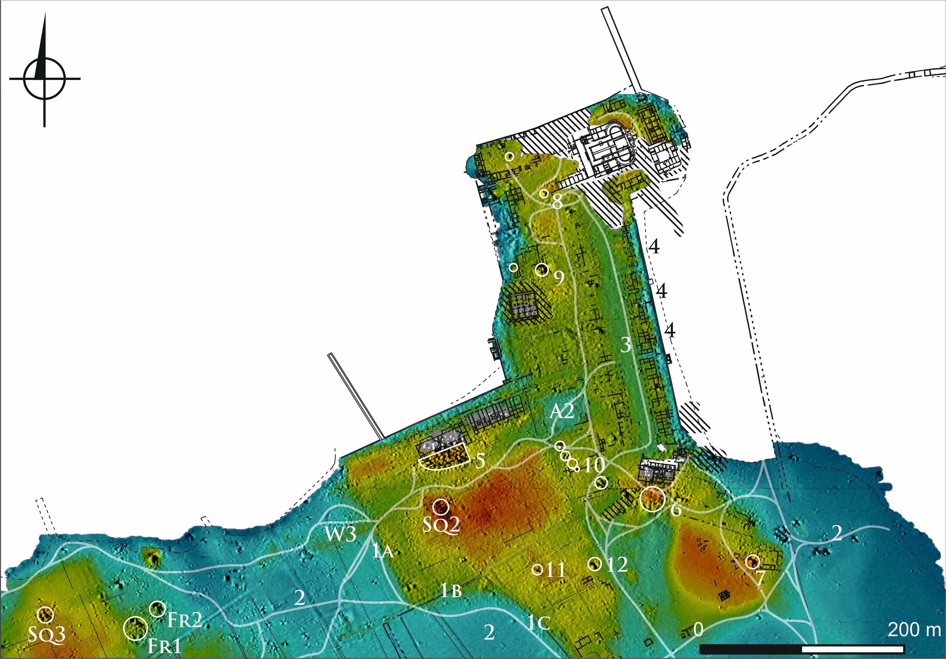
Plan stanowiska 2019. Autor: Wiesław Malkowski, Andrzej B. Kutiak, Mariusz Gwiazda (CC-BY4.0 License)
 Pobierz
Plan stanowiska 2020. Autorzy: Andrzej B. Kutiak, Wiesław Małkowski Mariusz Gwiazda (CC-BY4.0 License)
 Pobierz
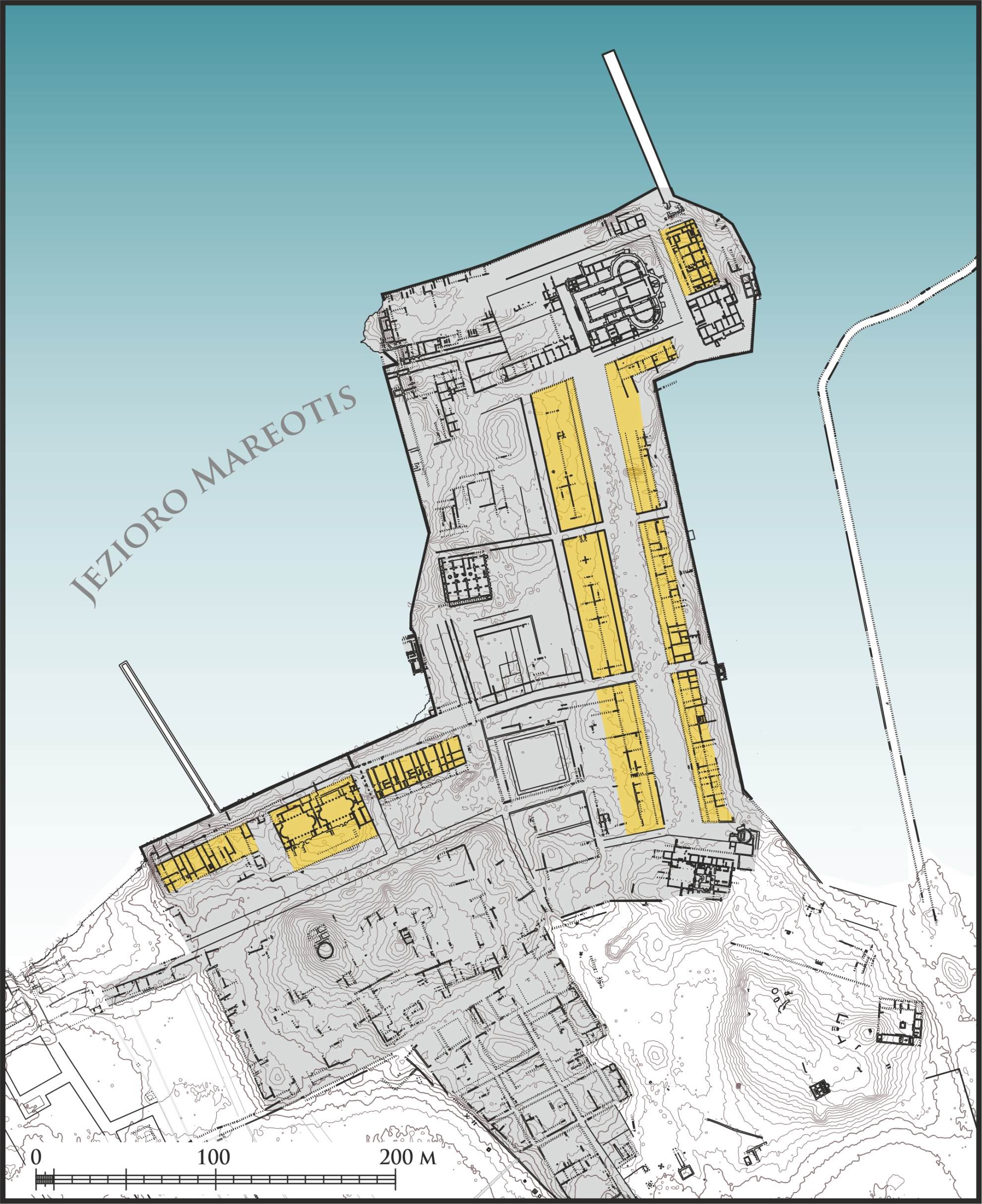
Mapa z zaznaczeniem budynków modułowych. Autorzy: Andrzej B. Kutiak, Wiesław Malkowski, Mariusz Gwiazda (CC-BY4.0 License)
 Pobierz
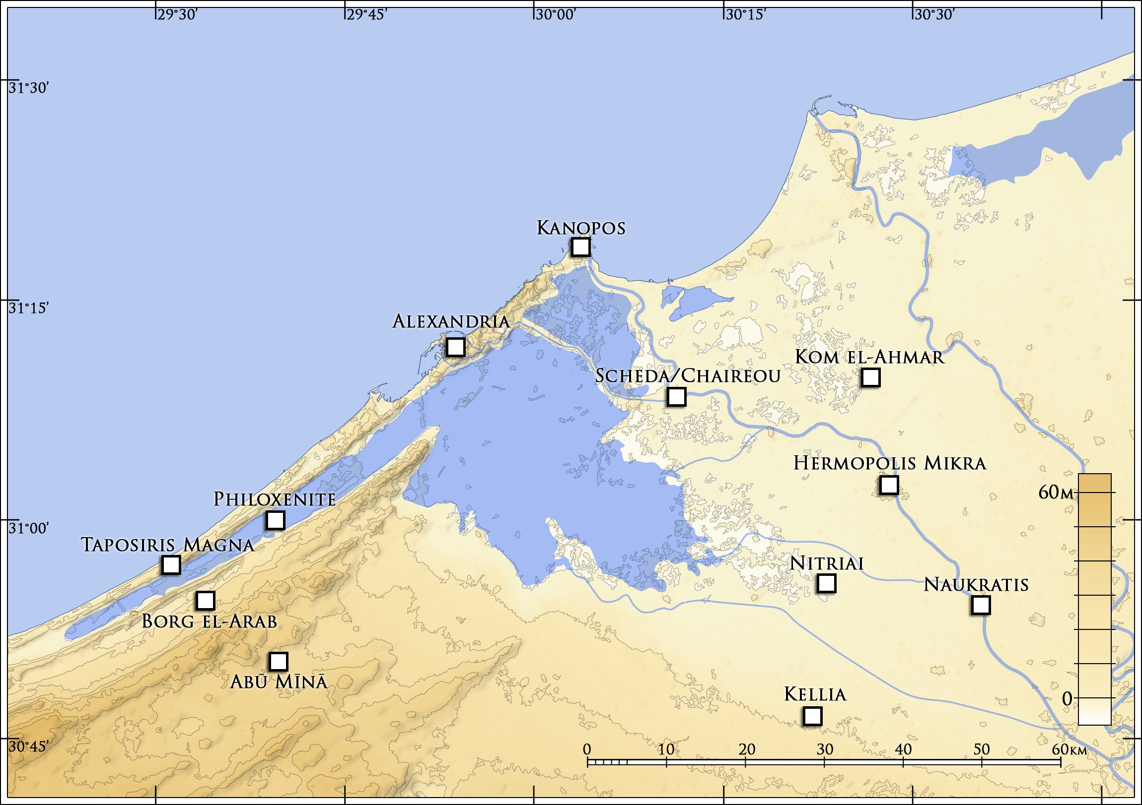
Map of the environs of Alexandria showing the position of Philoxenite. (Courtesy of the Polish Center of Mediterranean Archaeology / Marea Archaeological Project; drawing by J. Kaniszewski.)(CC-BY4.0 License)
 Pobierz
Plan of Philoxenite with locations of the modular buildings. (Courtesy of the Polish Center of Mediterranean Archaeology / Marea Archaeological Project; drawing by A. B. Kutiak and M. Gwiazda.)(CC-BY4.0 License)
 Pobierz
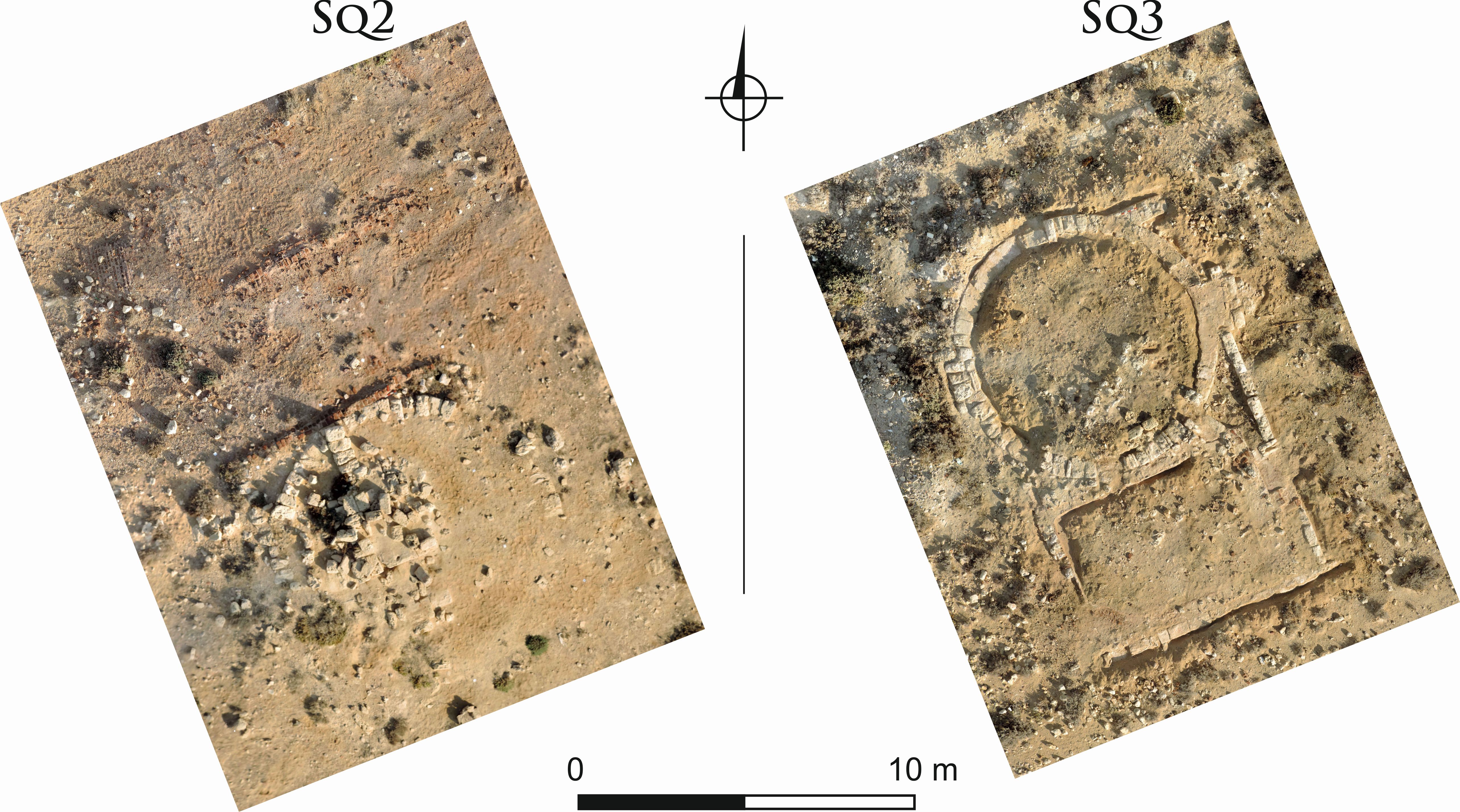
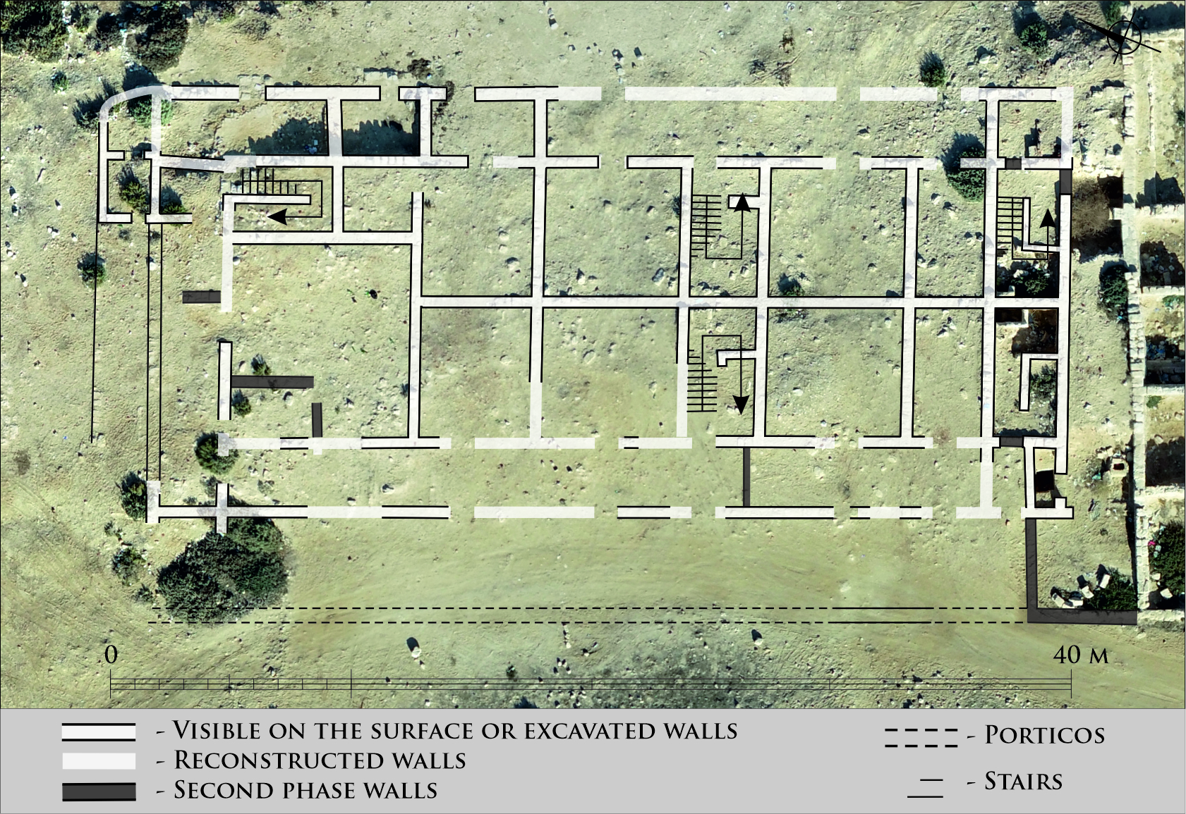
Orthophoto map of building S3. (Courtesy of the Polish Center of Mediterranean Archaeology / Marea Archaeological Project; drawing by M. Gwiazda.)(CC-BY4.0 License)
 Pobierz
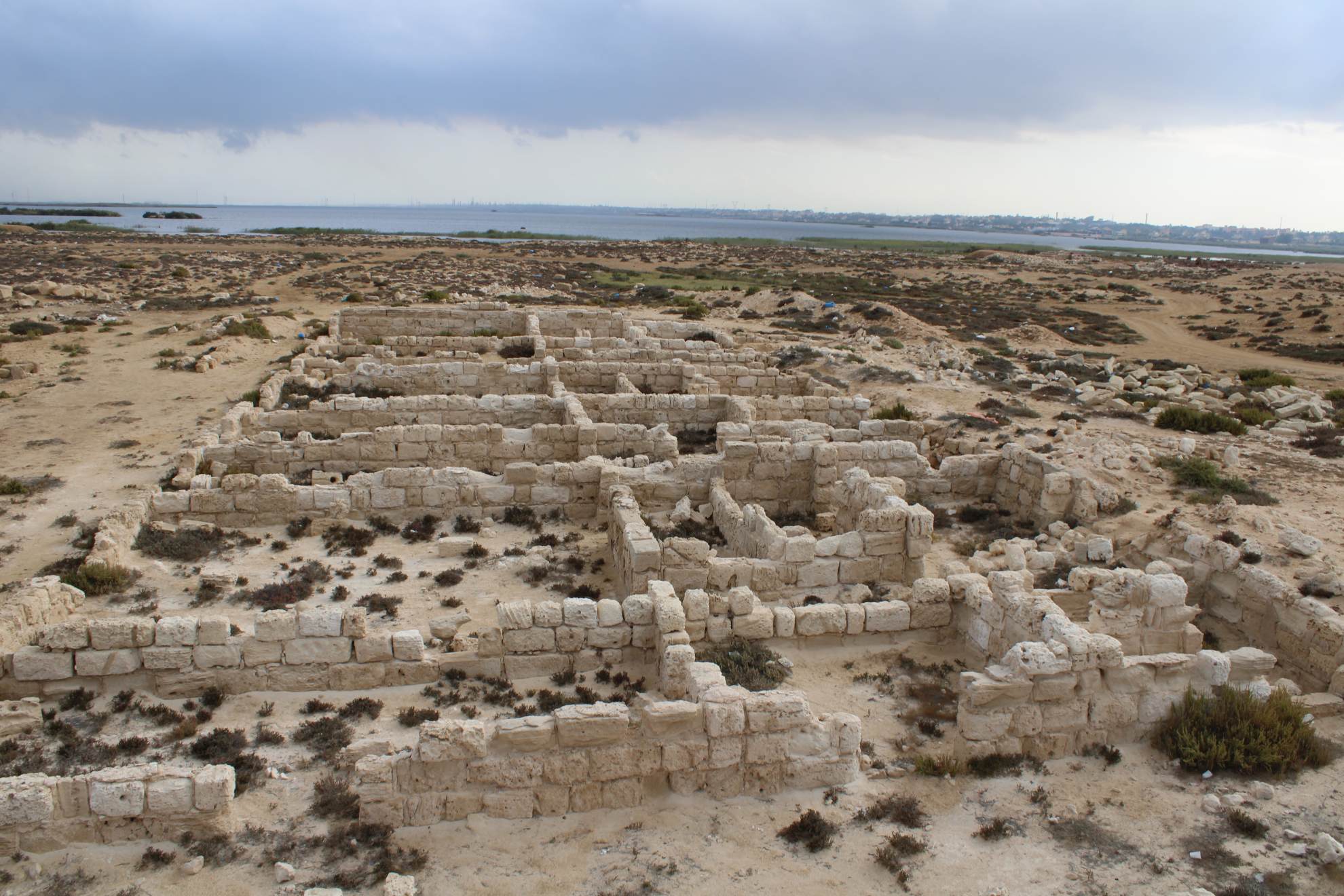
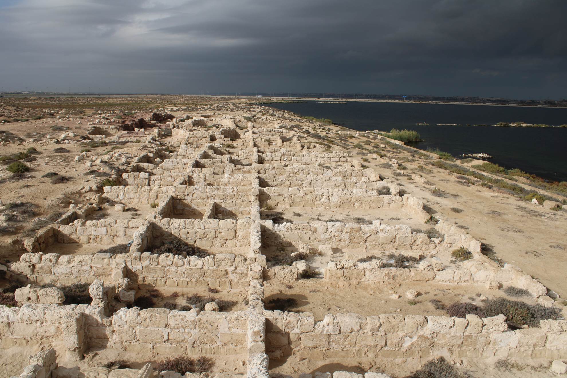
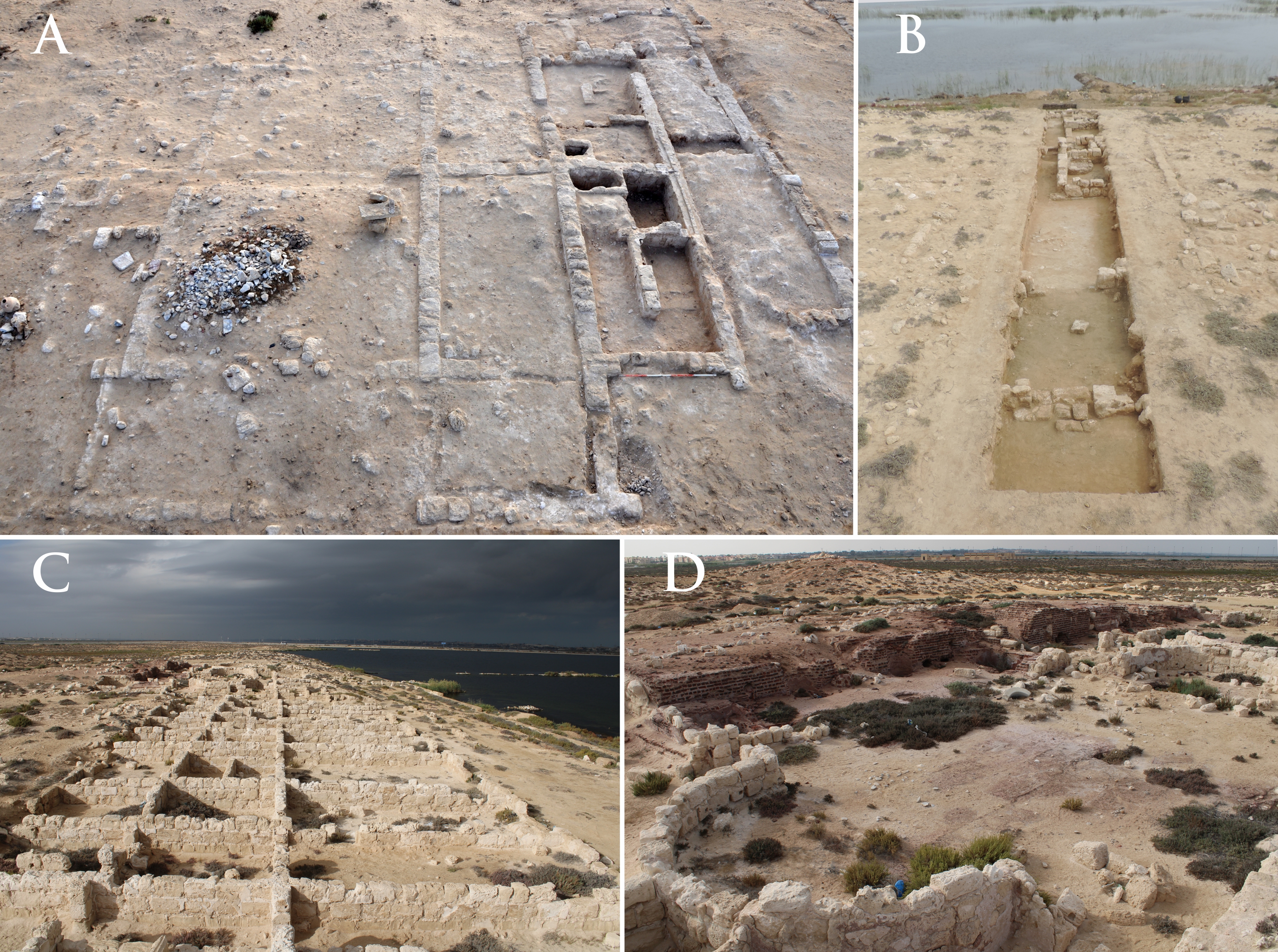
A) Surface remains of the southern part of building S3. View from western side; B) Trench W1-5 with remains of Building W1-B. View from western side; C) Building W2. View from eastern side; D) Western part of double bath complex T2. View from northeast. (Courtesy of the Polish Center of Mediterranean Archaeology / Marea Archaeological Project; photos by M. Gwiazda.)(CC-BY4.0 License)
 Pobierz
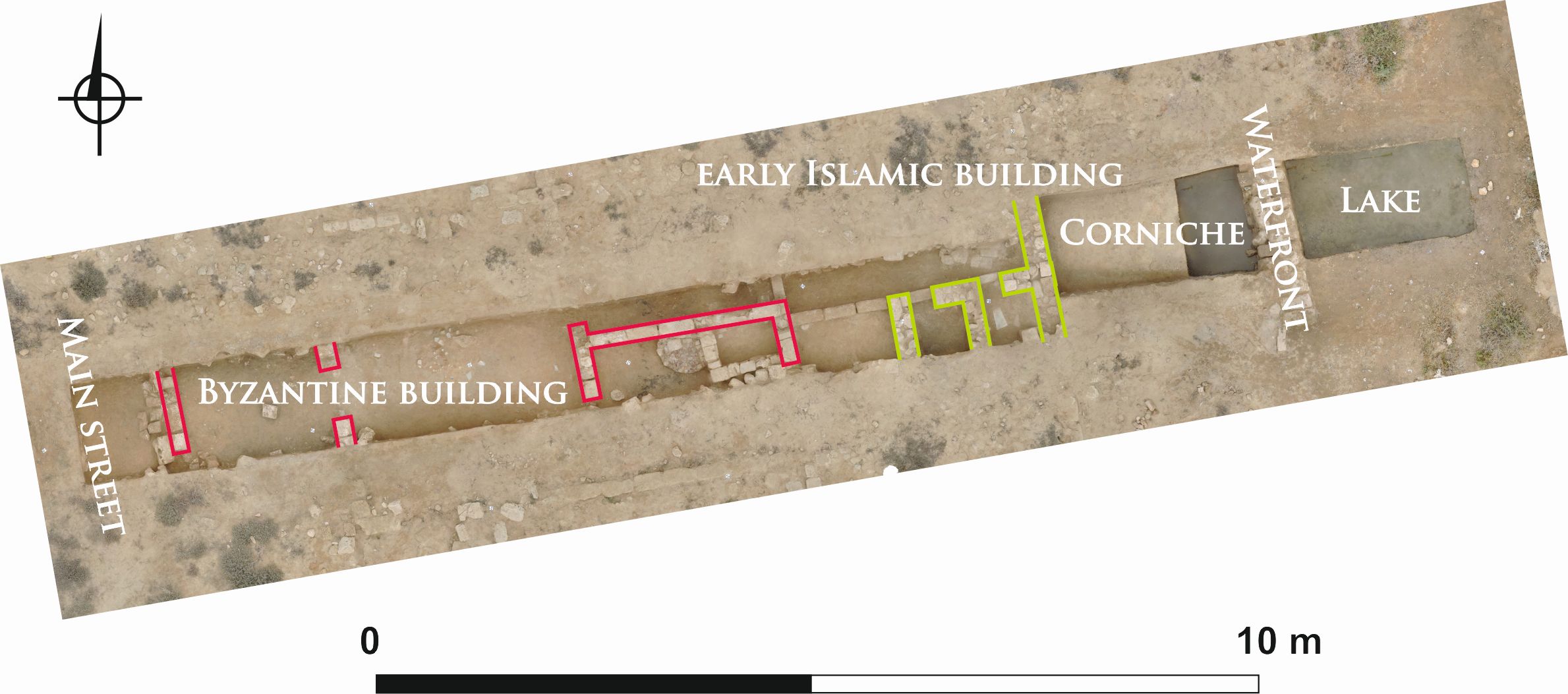
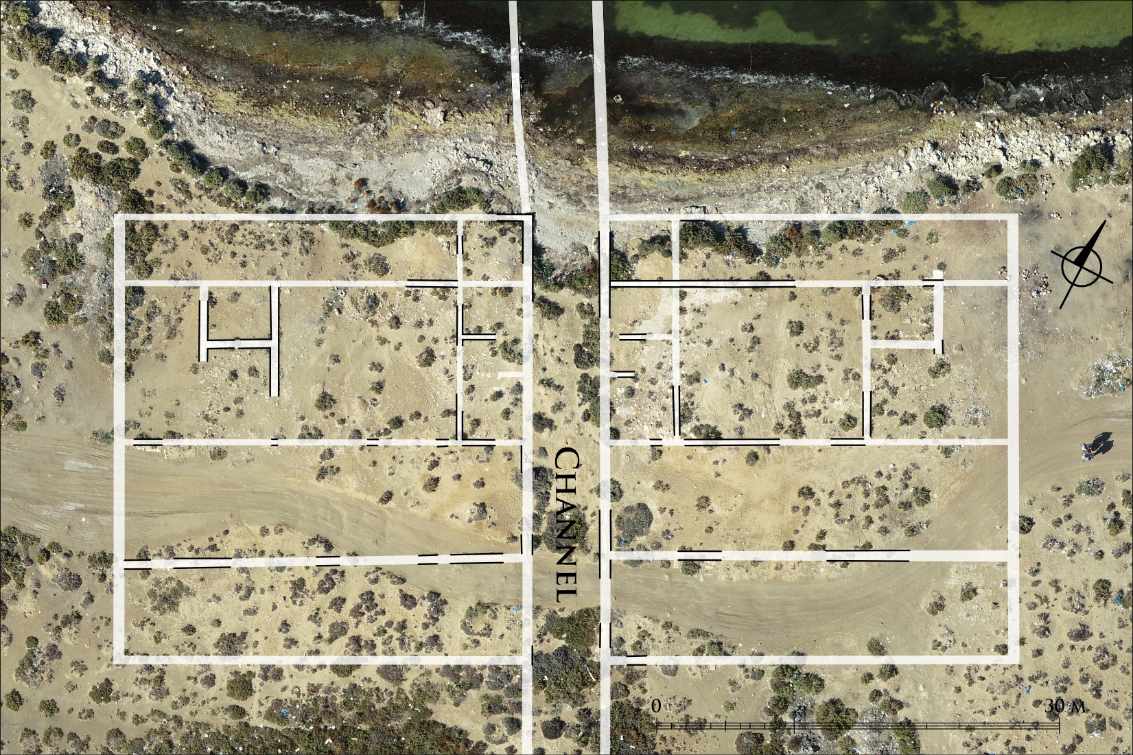
Orthophoto map of buildings in area W5 (left) and W1 (right). (Courtesy of the Polish Center of Mediterranean Archaeology / Marea Archaeological Project; orthophoto and drawing by M. Gwiazda and M. Łuba.)(CC-BY4.0 License)
 Pobierz
A) Orthophoto map of building W2; B) Orthophoto map of bath complex T2. (Courtesy of the Polish Center of Mediterranean Archaeology / Marea Archaeological Project; orthophotos and drawings by M. Gwiazda.)(CC-BY4.0 License)
 Pobierz
A) Orthophoto map of building DD1. For legend, see Fig. 3. (Courtesy of the Polish Center of Mediterranean Archaeology / Marea Archaeological Project; orthophotos and drawings by M. Gwiazda.)(CC-BY4.0 License)
Uzyskaj dostęp do bazy danych:


